
1. Scouting the right location and preparing everything for scanning
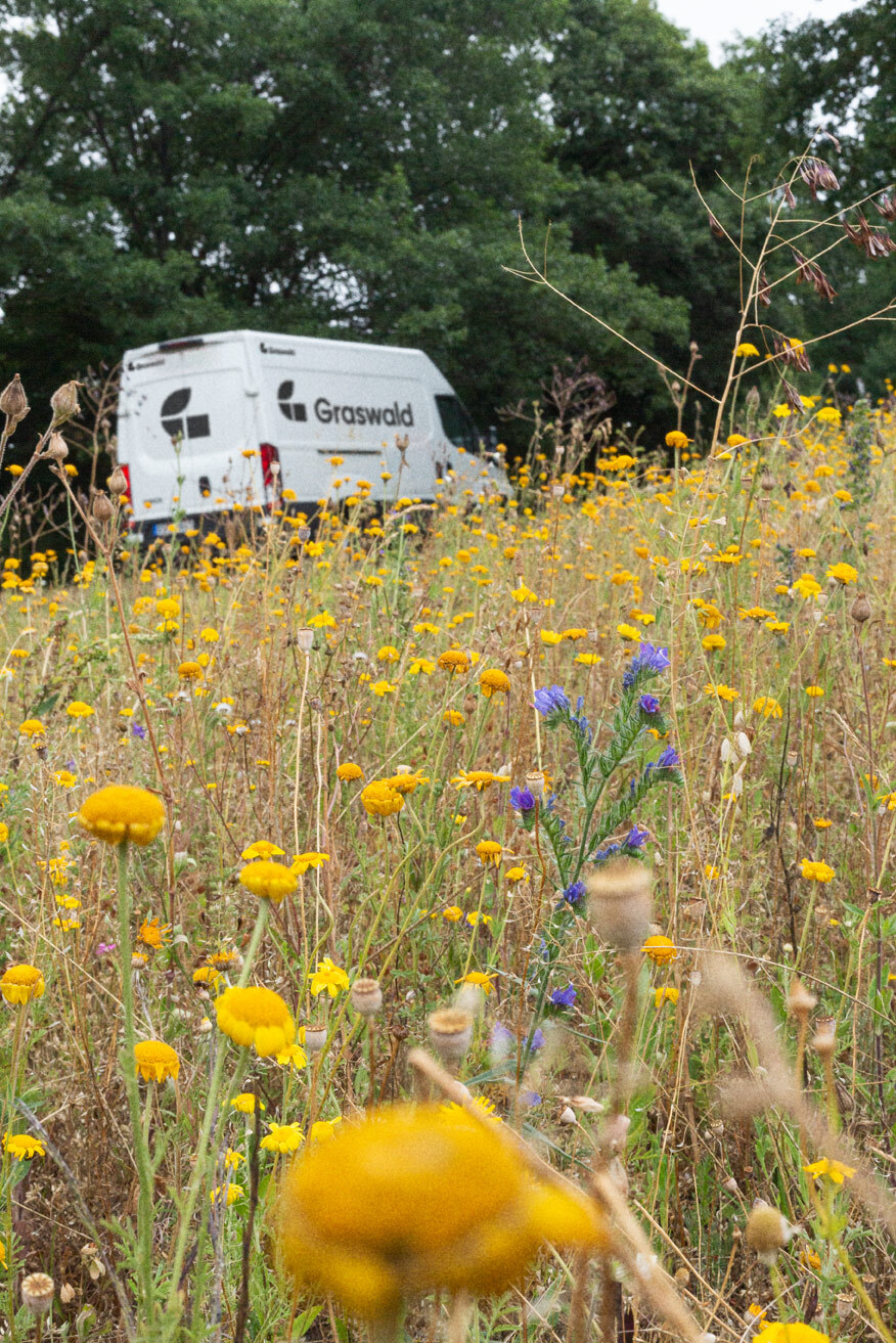
Behind each Graswald asset lies a story of our profound admiration and devotion to nature. Always on the lookout for pristine, untouched ecosystems with unique features that would make for excellent virtual worlds, we meticulously plan our scanning process to ensure we capture the most photogenic season of the year. We take detailed notes of all the elements of the environment, from the plants, the terrain, to the rocks, and the wood. Everything is then carefully classified and arranged to create a virtual world that is as realistic as possible. Once identified, the plants go into further detail and are broken down into their smaller components and analysed, each one of them to capture the distinctive traits of the species. Finally, we prepare them for 3D scanning, so that the virtual environment can be recreated to the smallest detail.
2. Scanning all elements
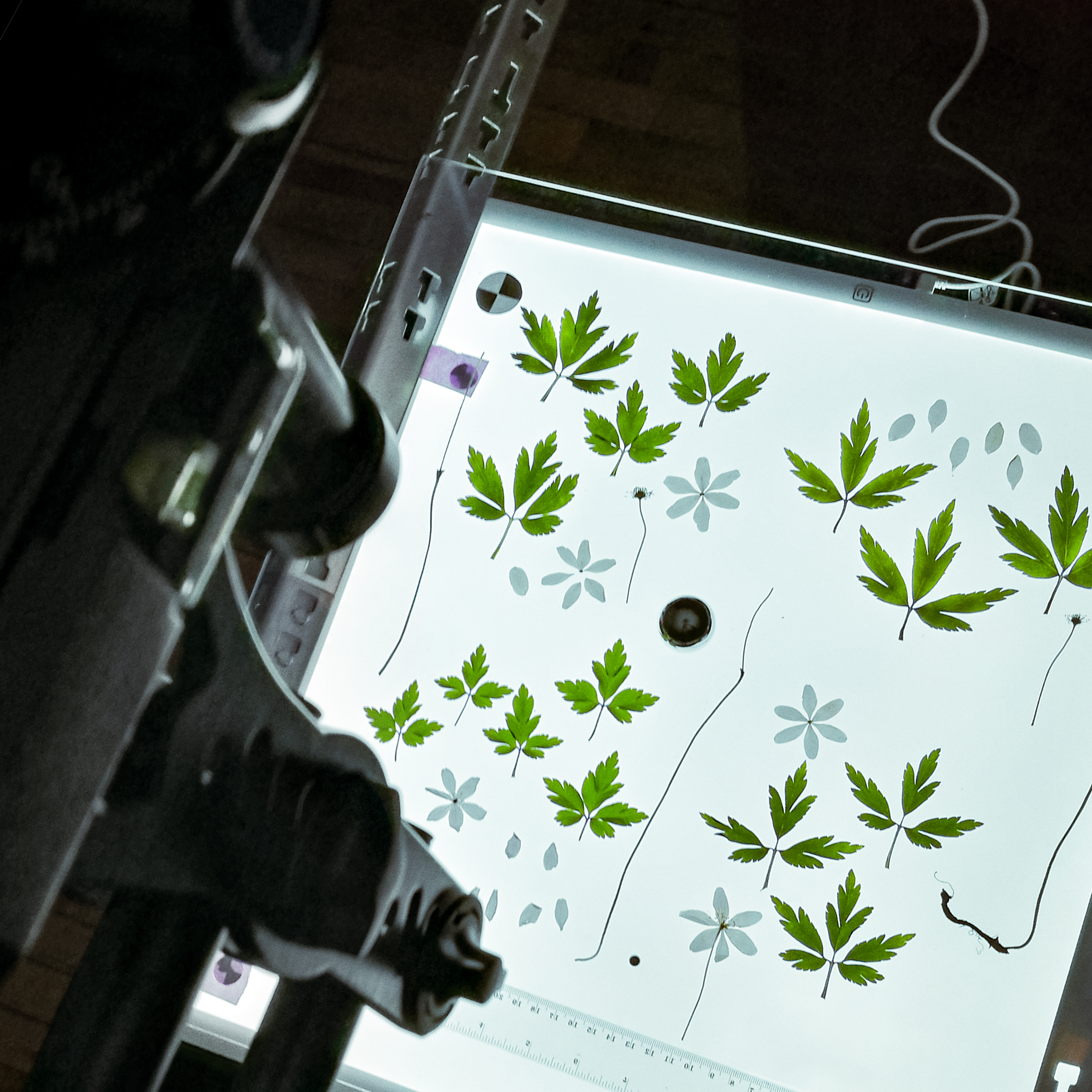
All elements of the plant are carefully arranged on the scanning plate in a way that preserves the unique shapes and structures of each individual element, to make sure that the finished product is assembled correctly. To ensure the highest level of accuracy and precision, we scan each element (leaves, flowers, stems, roots, fruits, etc.) using up to 64 different light positions. This allows us to capture even the most subtle details in the plant that would otherwise be lost. Our proprietary Photometric Stereo Scanner, which was designed specifically for digitizing natural elements like vegetation, ensures that the lighting and colors of each scan are standardized and accurate. With our advanced scanning technology, we can guarantee that the finished product is a faithful representation of the original plant.
3. Creation of PBR Atlases
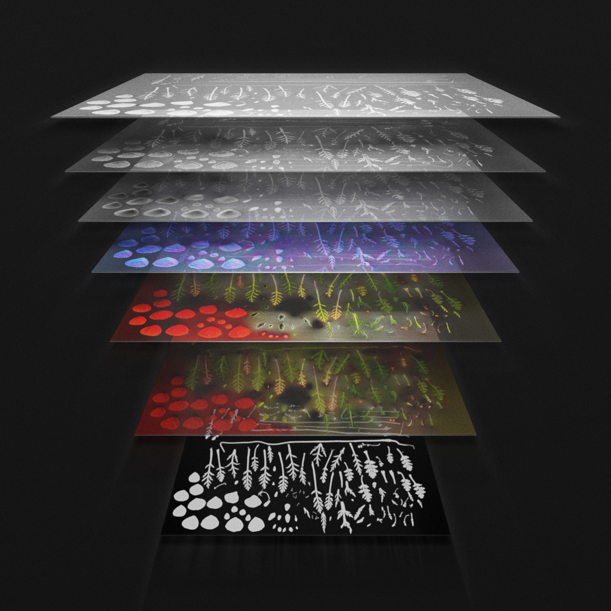
Based on our captured data, we then generate all relevant maps (Albedo, AO, Roughness, Normal, Displacement, Opacity & Translucency) with proprietary algorithms to ensure a quality unmatched by regularly available tools.
Albedo Map
The Albedo Map displays only diffuse light color, and does not contain any directional light, ambient occlusion, or specular reflections. The Albedo Map is carefully scanned in a mechanically automated environment and calibrated using the Macbeth ColorChecker standard for consistency.
Ambient Occlusion Map
AO represents diffuse light occlusion, and should be multiplied with the albedo map in the shader. AO and albedo must be used together, as they blend perfectly, both in offline and real-time contexts. This is because AO contains scanned occlusion that cannot be derived from displacements alone.
Roughness Map
Roughness represents how rough the surface is, dictating the spread and intensity of specular reflections, and is the inverse of Gloss/Smoothness.
Normal Map Map
Normal maps are typically used to give low resolution models the same visual characteristics of higher resolution models. This involves encoding the angle and shape of the surface at a per pixel level. Our Normal Maps excel through high accuracy providing unmatched shader detail.
Displacement Map
Displacement represents the encoded height differences of a high resolution model, baked into a texture map. It generally contains a fairly wide range of high and medium level detail. It can be used to give the illusion of greater detail to a low resolution model.
Opacity Map
Opacity represents the transparency of a material. We use it within our assets for a more detailed outline that cannot be achieved with geometry alone. However, our assets are highly optimized to limit the use of opacity wherever possible as this often leads to performance issues.
Translucency
Translucency describes the intensity and quantity of light that passes through an object when illuminated from behind. This map should be used in a leaf shader, for example, to generate an accurate representation of light shining through foliage.
4. Create Geometry and Building Blocks
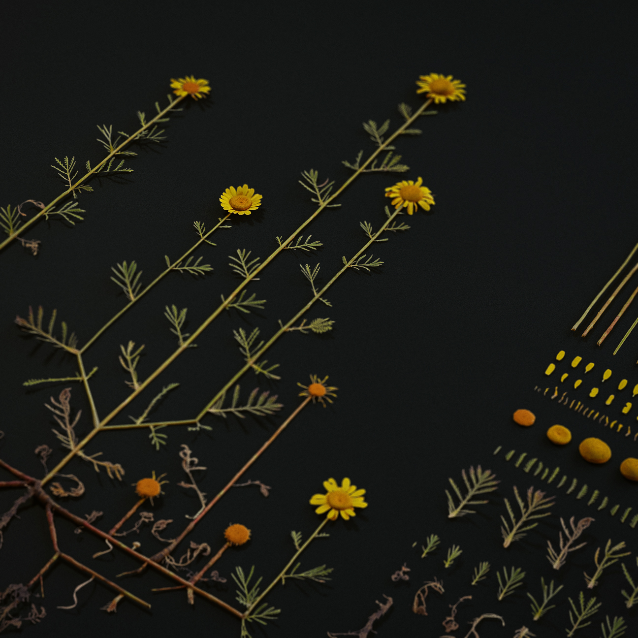
We combine all individual elements into so called Building Blocks, allowing us to quickly iterate and generate high-quality assets in no time. Building Blocks will be available later this summer, allowing you to build custom vegetation for your specific use case in no time.
Based on our high-quality PBR maps, we generate detailed geometry, providing each element with the accuracy and detail it needs. We compile 8 levels of detail to support both close-up shots and large ecosystems with many instances.
We then create logical systems for each species, recreating various parts of the plants. These systems are called Building Blocks, forming the foundation of our vegetation assets and offering maximum customisation and variation.
Building Blocks will be available for Graswald customers this summer, giving them the capability to generate customised vegetation from the highest grade source data in no time.


